
Charlottesville Previous Residents by Era
The most useful answer depends on the period. Start with the City GIS result and the current land-book row when the address is still easy to identify. Those sources establish the parcel, owner of record, legal description, and assessment trail. A recorded deed then moves the search from the parcel to the person who transferred it. For an older address, historical directories, federal census schedules, house surveys, maps, newspapers, and probate records fill different gaps. None of them alone proves every person who lived at an address.
| Record source | Charlottesville era | Access point | Address trail |
|---|---|---|---|
| City land books | Unofficial PDFs for 2015–2026; official books at the clerk | City land-book collection and Circuit Court Clerk | Owner, legal description, parcel, assessed value, levy, and taxable or exempt status |
| Assessor history file | All city parcels; earliest date not stated | City Assessor appointment or public computer | Ownership history, deed and plat references, and improvement information |
| Land records | City record inception; online start date not published | Circuit Clerk, COVERS, US Land Records, books, and local terminal | Grantor, grantee, recording date, legal description, plat, and prior-deed references |
| ACHS surveys and appraisals | 1936–1938 and 1957–1981 | ACHS Research Library | Historic owners, block and parcel context, building details, and sometimes photographs |
| Directories and census | Known local directory leads from 1895–1960; released census schedules through 1950 | JMRL, UVA, Library of Virginia, NARA, and microfilm collections | Date-stamped household and address clues, with irregular directory coverage |
Begin at the nearest confirmed year, then move one source at a time. A land book is best for a tax-year owner, while an address directory or census schedule is better for a household. The City Assessor maintains hard-copy parcel histories when the online display does not carry an older layer. City and Albemarle records must stay separate: a Charlottesville mailing address can belong to a county parcel, and the land should be searched with the clerk for the locality where it sits.
Charlottesville Parcel Records First
Save the current parcel details before heading backward. The City Assessor maintains computerized information and paper history files with ownership, deed and plat references, ownership history, and building information. Search the Charlottesville GIS Viewer by full address, owner name, street number, street name, zoning, parcel ID, sale date, or sale price. The criteria are combined, so one broad field is safer than a stack of filters. Copy the situs address, parcel ID, owner field, sale information, deed or plat reference, and legal description exactly as shown.
The City land-book PDFs offer a useful numerical checkpoint: unofficial taxable and exempt books are available for each year from 2015 through 2026, while official books remain with the Circuit Court Clerk. They can show whether the parcel appears in a particular annual roll, but they do not establish every resident. Keep the owner field separate from any mailing address. The situs is the physical location of the parcel; a mailing address is where tax correspondence goes and may be far away.
Note: The GIS map is compiled from several sources and is not a legal description, so retain the deed and plat references for title questions.
Charlottesville Deed Chain Backward
Previous residents research needs a chain of title when the question is ownership. A grantor is the person conveying property, and a grantee is the person receiving it. The chain of title is the sequence of those transfers. In Charlottesville, begin with the current owner as grantee in the Circuit Court Clerk’s land index. Inspect the purchase deed for the recording date, instrument number or book and page, seller, consideration, and legal description. Then search that seller as an earlier grantee for the same tract.
- Record the current parcel ID, situs address, owner, deed reference, plat reference, and legal description from the assessor or GIS result.
- Search the current owner as grantee through the Charlottesville Circuit Court Clerk’s available land-record route.
- Match the seller and legal description in the deed, not merely the modern street number.
- Search that seller as grantee to locate the earlier purchase and repeat the comparison.
- When the online route ends, ask the clerk about the local terminal, books, and the Library of Virginia microfilm catalog.
- Grantor / grantee
- The grantor transfers an interest in land; the grantee receives it.
- Chain of title
- The documented succession of transfers for the same parcel or tract.
- Legal description
- The lot, block, subdivision, acreage, or metes-and-bounds description that identifies land even when its street number changes.
The Virginia Secure Remote Access notice explains that land-record access depends on the individual clerk. An enabled clerk may offer a free index, while images can require an authorized subscription and fees. Charlottesville’s public material does not state an online start year, so confirm whether a book or image is in COVERS, US Land Records, a local terminal, or the physical record room.
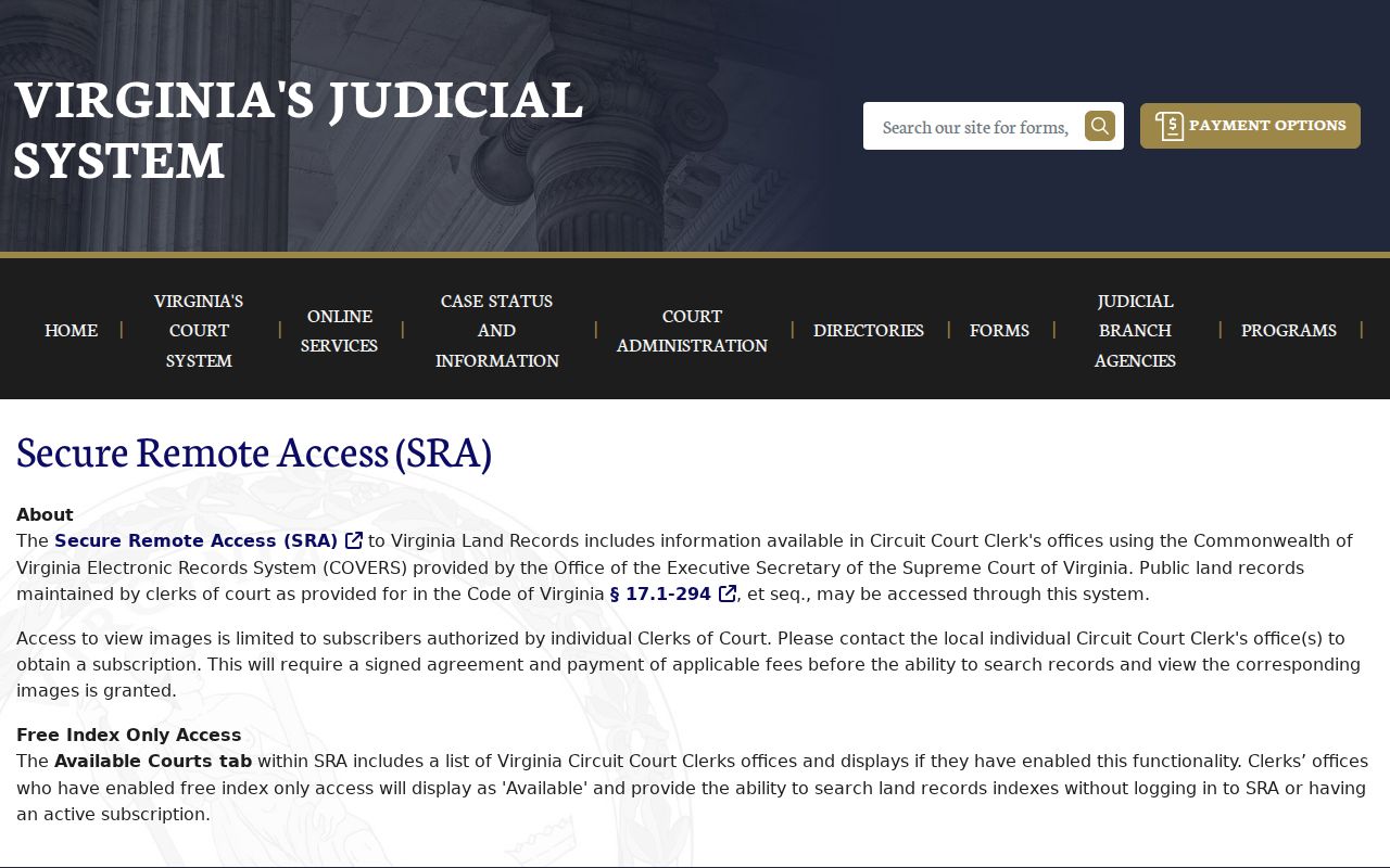
The access notice is a reminder to treat an index hit as a lead, then ask the custodian where the underlying deed can be viewed or copied.
Charlottesville Previous Residents in Surveys
ACHS supplies a local house-history layer that ordinary parcel screens cannot. Its WPA Surveys of Albemarle County Homes, 1936–1938, MS 311, are indexed by property name and folder number. A survey can include a building description, surroundings, history, chronological owner list, and historical significance. Because the collection is county-focused, confirm the locality in the folder before treating it as a city-address record. It can still help with a property whose history predates the present city line or carries a Charlottesville postal address.
The ACHS CRHA property appraisals, 1957–1981, MS 523, are another concentrated source for Vinegar Hill, Cox Row, Garrett Street, and related redevelopment areas. An appraisal may carry block and parcel numbers, street address, owner, lot dimensions, zoning, values, acquisition date, prior sales, improvements, and photographs. Those fields can connect a former block or parcel description to a deed search without turning a house-history search into a claim about current residents.
The captured ACHS WPA house-surveys collection shows the research entry point for the indexed 1936–1938 files.
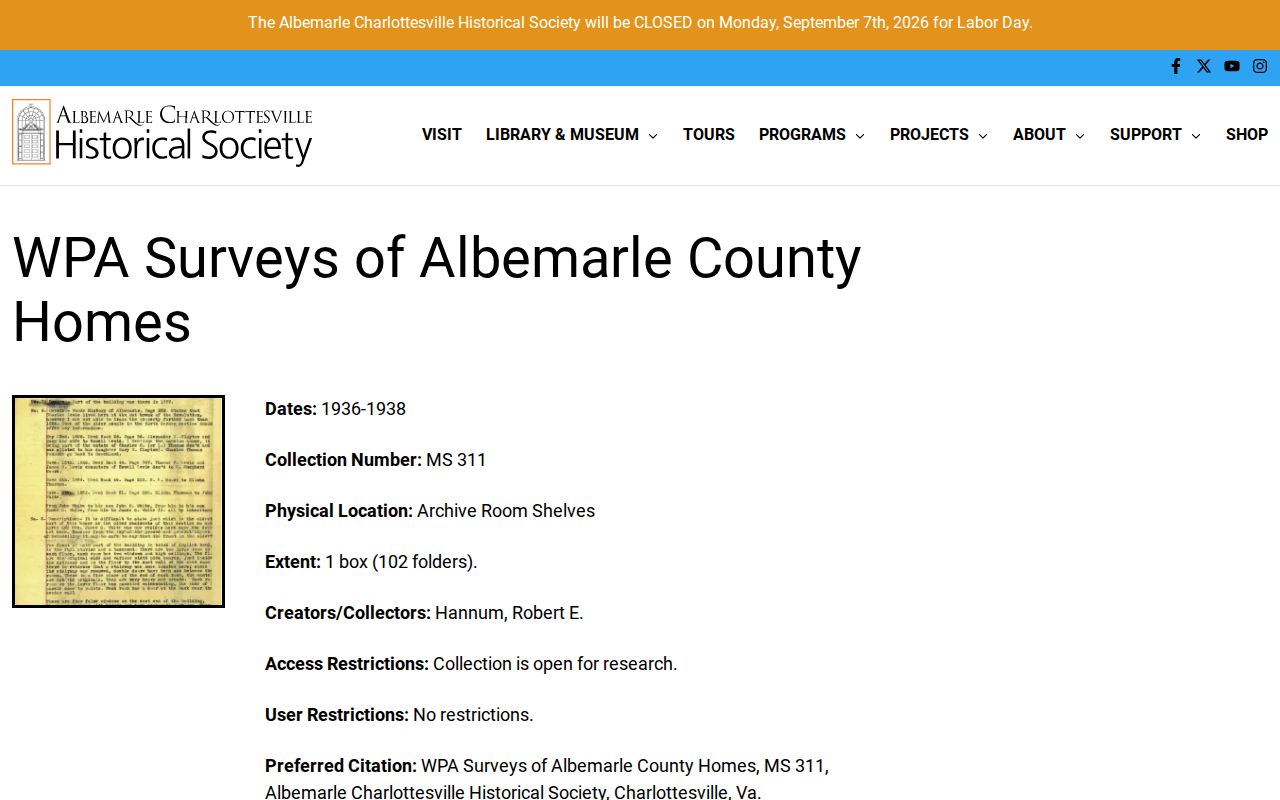
Bring a focused property name, address, and approximate year when requesting a folder, then compare any owner list with the recorded land trail.
A second captured ACHS Research Library page identifies the local archive used for its vertical files, maps, manuscripts, and property material.
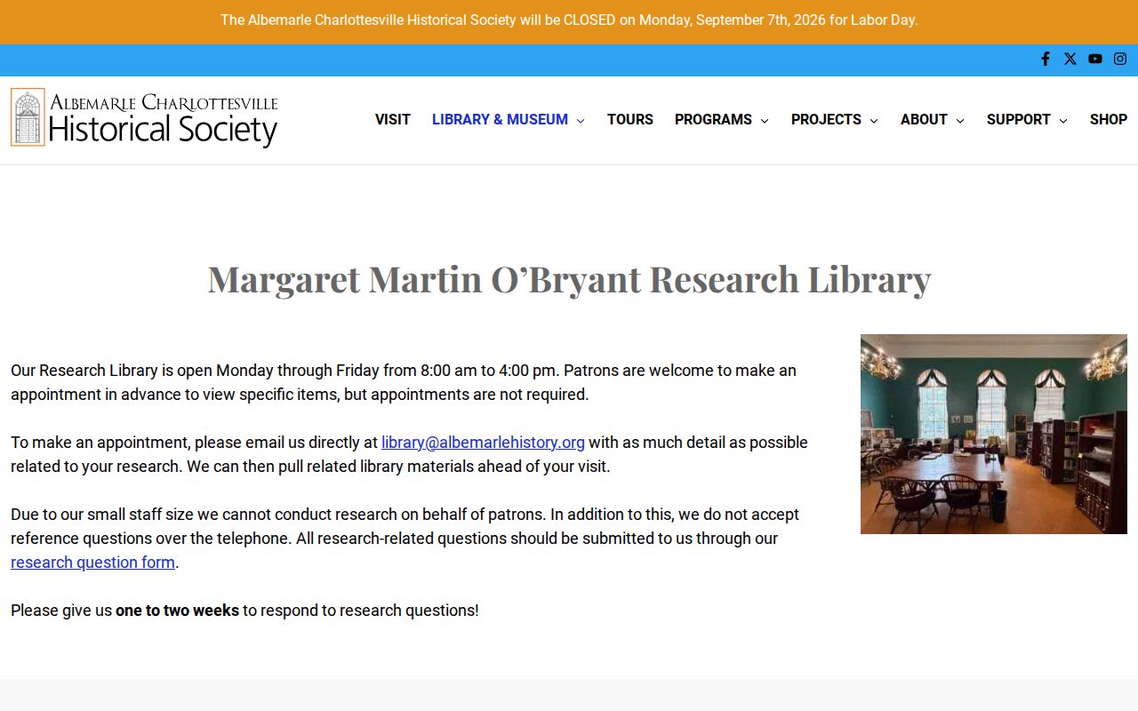
ACHS encourages appointments so staff can pull items, accepts research questions through its form or email, and says it does not conduct research by telephone or on a patron’s behalf.
Charlottesville Street Names and Sanborns
A failed street-number search may be an address-continuity problem, not the end of the record. Charlottesville’s grid uses Main Street as its east-west baseline and First Street as its north-south baseline. Numbers rise by 100 per block from those baselines, with odd and even sides set by direction. An old deed or directory should be searched with its quadrant, abbreviation, and historic spelling. The August 2024 Street Index map is the current spelling and grid reference.
Local preservation research records two practical variants in 10th and Page: 8th Street NW was White Street, and 10th Street NW was Jeffries. Search both names and compare the modern GIS street layer with Sanborn maps for 1896, 1907, 1913, 1920, 1929, and 1950. In that survey area, the 1907 map is the first cited map to depict structures. Maps establish a building footprint, use, lot context, and change over time, but they do not identify each household.
Charlottesville’s 1963 final annexation adds another local break. Johnson Village, Greenbrier, and Barracks Road areas can have county-era material before later city assessment records. The plat, legal description, and adjacent parcels are the bridge when a present address does not appear in an earlier record.
Charlottesville Records in the City Archive
A local records story helps explain why an address trail is spread across offices and formats. In March 2022, the City announced an imaging project that placed more than 8,000 pages of City Council minutes and ordinance books online. The minutes reach back to 1854 and the ordinances to 1904. This municipal archive does not replace the Circuit Clerk’s deed books or an address directory, but it documents the city’s long paper record alongside property sources.
The City Council archive notice marks a modern access point in a much older recordkeeping history. Charlottesville became an independent city in 1888, while Albemarle County remained a separate locality around it. For previous residents research, that split means the city’s municipal archive, the city clerk, and the county clerk can all hold relevant but different context for the same postal name.
Charlottesville Previous Residents in Directories
Directories are the household layer after the owner trail. JMRL makes a 1898 Charlottesville City Directory available as a local-history document. Other local leads include 1895, 1904/05, and 1910–1930 editions, plus a microfilm sequence from 1904/05 through 1960 with stated gaps. The numbers matter: reel 35 lacks 1908 and 1909; later reels also have missing years, so a gap is not proof that a household left the address. Treat each volume as a dated snapshot and search both the name and address arrangements where they are present.
For an old address, read the nearest directory’s reverse or address section, then check the alphabetical section for every listed person. Record the printed spelling, address, year, page, and any notation instead of expanding abbreviations by guesswork. The historical collections themselves have fuller shelf and reel detail on the Charlottesville city directory page. A name at an address is evidence for that edition’s compilation, not proof of title or a complete household list.
The JMRL local-history documents page provides the direct local entry point for the 1898 directory.
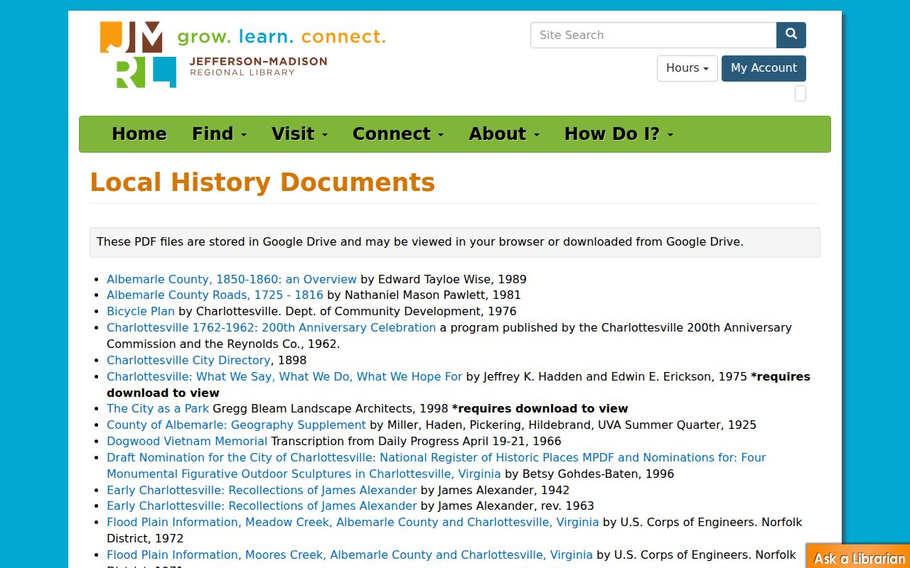
The available document is especially useful when a deed change leaves a multi-year gap before the next confirmed parcel record.
Charlottesville Census and Trail Endpoints
Pair a directory year with the closest released federal census schedule. The public decennial release reaches 1950 under the 72-year rule. Use 1900, 1910, 1920, 1930, 1940, or 1950 as appropriate to test household composition, ages, relationships, birthplaces, and geography. The census is not a present-day record, and it should not override a deed’s legal description. It does provide a separate way to check whether a directory listing points to the right household.
Newspapers and probate help close a trail. ACHS links the UVA Daily Progress digitization for 1892–1964, as well as Virginia Chronicle and Chronicling America. Search a person, address, business, or neighborhood term for sale notices, building announcements, obituaries, and social notices. When a recorded owner dies, a Circuit Clerk probate or fiduciary file can identify an executor, heirs, a property reference, or disposition. Verify every location against the deed, since an obituary saying someone was “of Charlottesville” does not identify a particular parcel.
Note: A household change becomes more reliable when a directory, census, and recorded property reference point to the same address and time period.
Charlottesville House History Limits
Previous residents records are best used for house history, family history, estate and heir research, or a documented neighborhood story. Parcel ownership is not a list of everyone who lives at an address. A directory or census entry is time-bound, and protected addresses can be intentionally absent from public material. Virginia’s Address Confidentiality Program protects qualifying participants, and protected voters may use a post-office-box address in public registration lists.
Lawful use. Use Charlottesville address history for personal, historical, or estate research, never to track, contact, threaten, or harass a living person.
Virginia’s anti-stalking law, Va. Code § 18.2-60.3, can apply even when a record began as public. Do not republish sensitive identifiers or protected-address information. When a record appears wrong, take the correction request to the office that maintains it.